
Despite a few visits into the eastern portion of Rocky that I shared on FaceBook and Instagram since we arrived in Estes Park in mid-May, this is the first blog post of 2019 about our beloved Rocky Mountain National Park.
The colder temperatures and spring snows that continued into May caused a delay in the opening of Trail Ridge Road (TRR) until June 5th this year. In contrast, TRR opened on May 24th in 2018. We had plans to fly back east to celebrate a family occasion on June 7th, so we weren’t able to drive Trail Ridge until June 11th. There was still plenty of snow to boggle the mind!
I wrote extensively about TRR last summer, and you can go back and read that series beginning with this link: 2018 Trail Ridge Road series. As a reminder, Trail Ridge Road is one of ten America’s Byways in Colorado and a national designated All American Road. It is the highest continuous motorway in the United States, with more than eight miles lying above 11,000′ and a maximum elevation of 12,183′.That said, I will provide locations and descriptions, but mostly let the photos do the talking for our visit on June 11. We had spent several visits at Rainbow Curve, the closure point during winter, so the photos begin just past there, with a view of Sundance Mountain.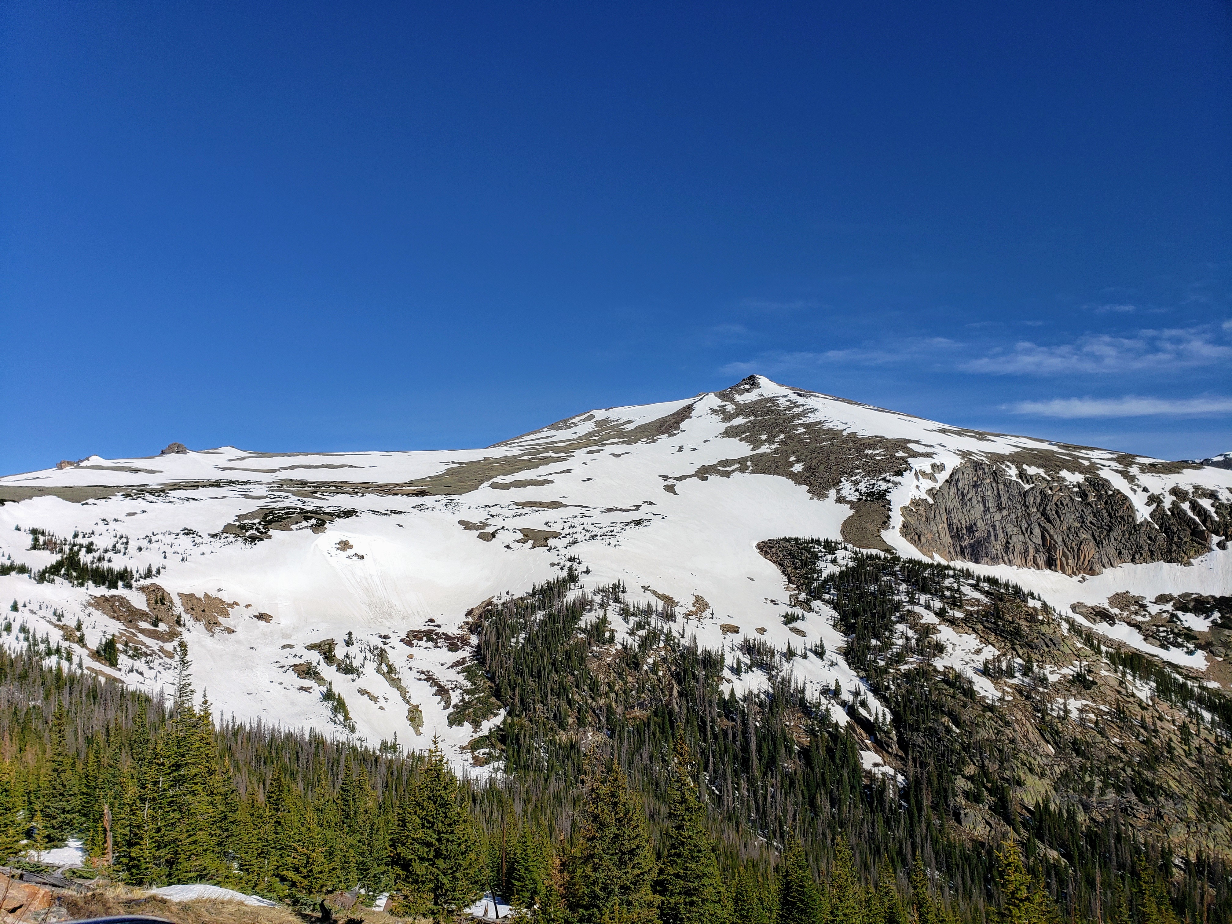 As we climbed in elevation, the snowbanks climbed as well…
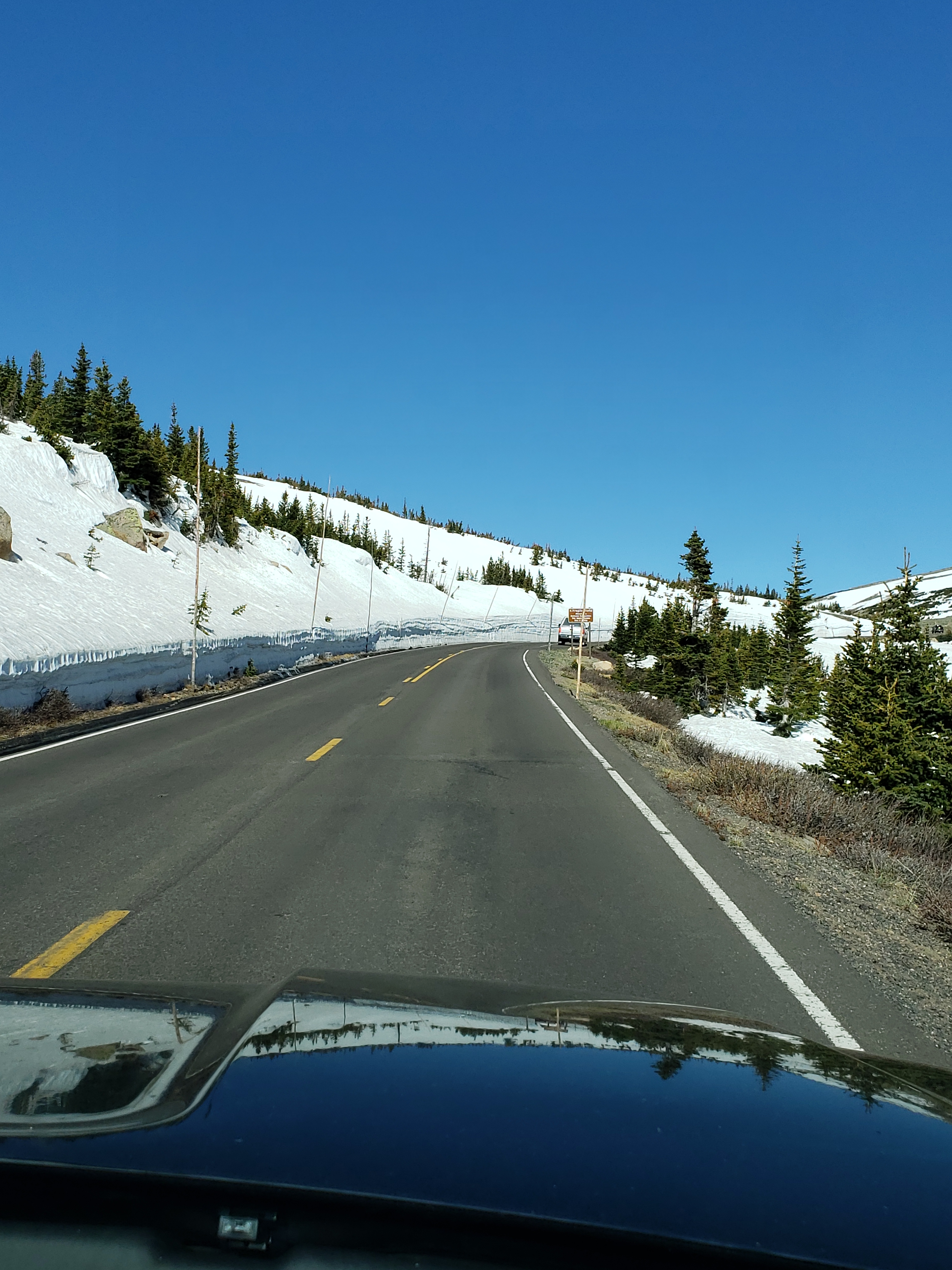
 Our first stop was Forest Canyon overlook, normally a short walk over the tundra to a dramatic stone overlook platform. This day, we used micro spikes on our hiking boots to navigate the hard packed snow and ice that covered most of the asphalt trail! Mostly because we wanted to try them out…😋
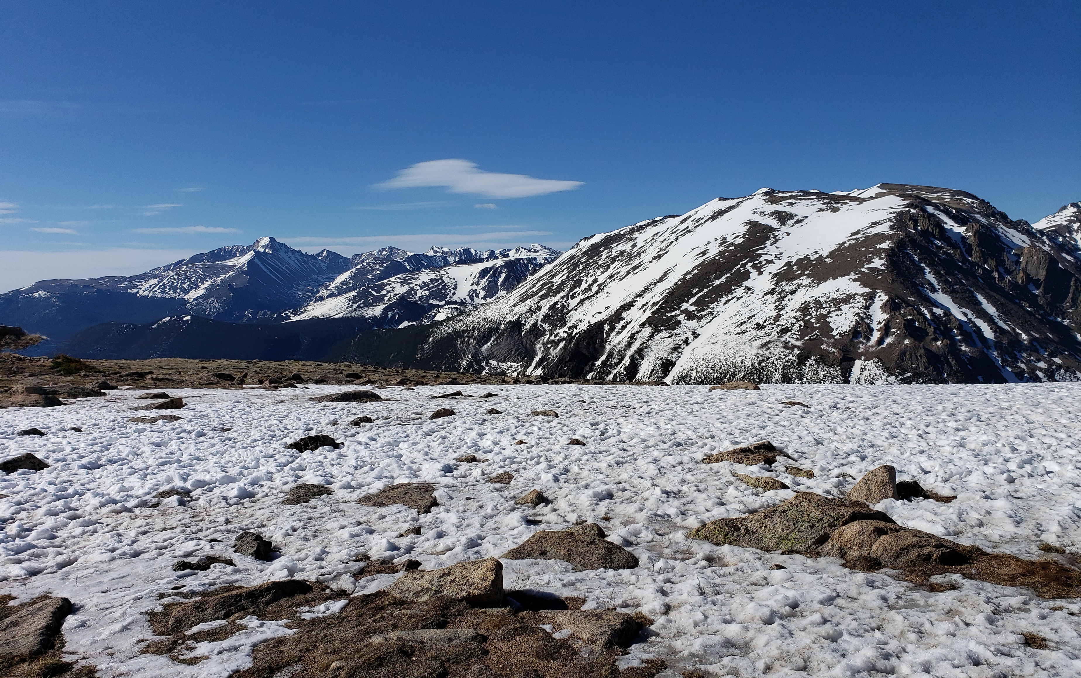
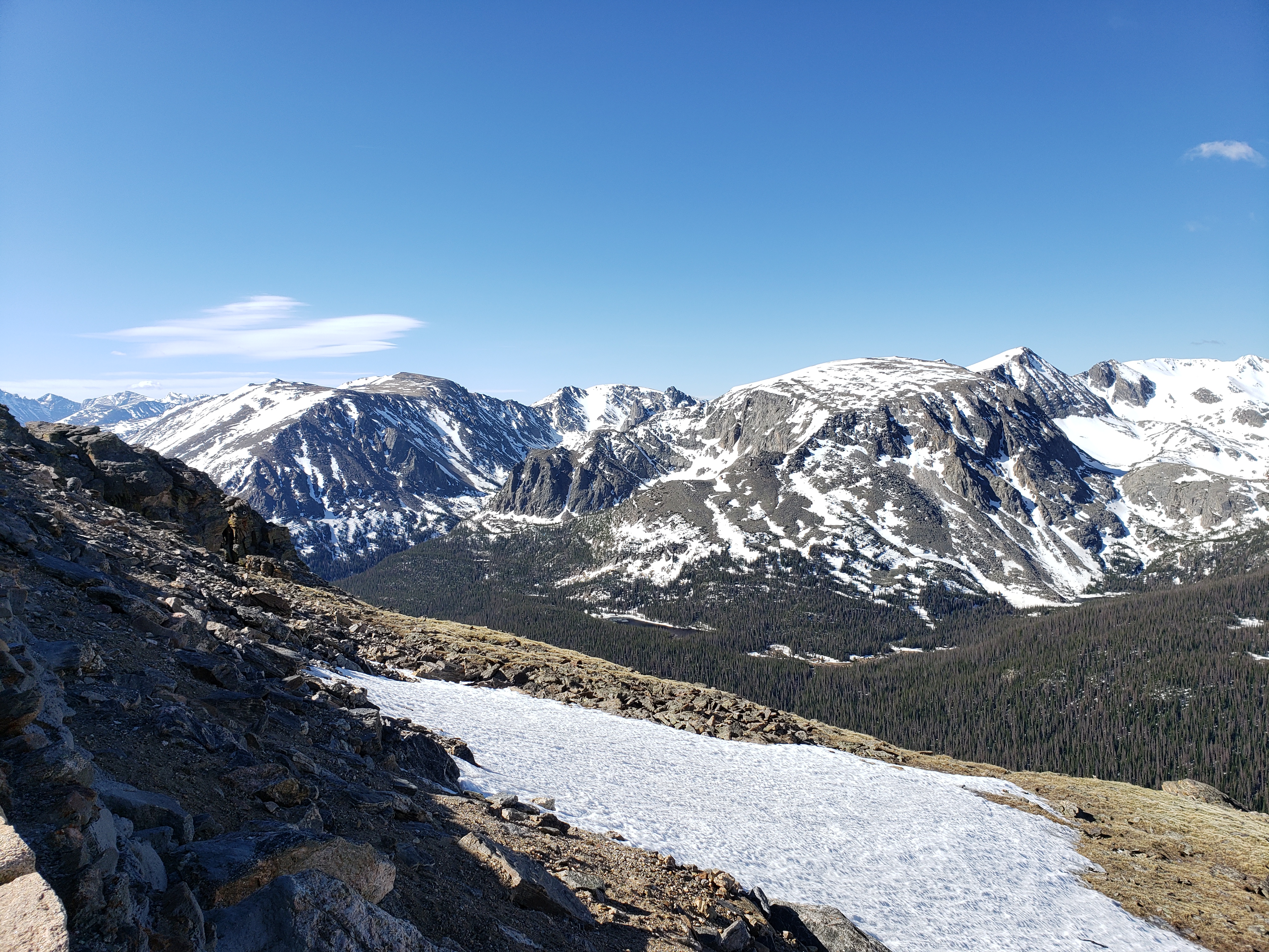
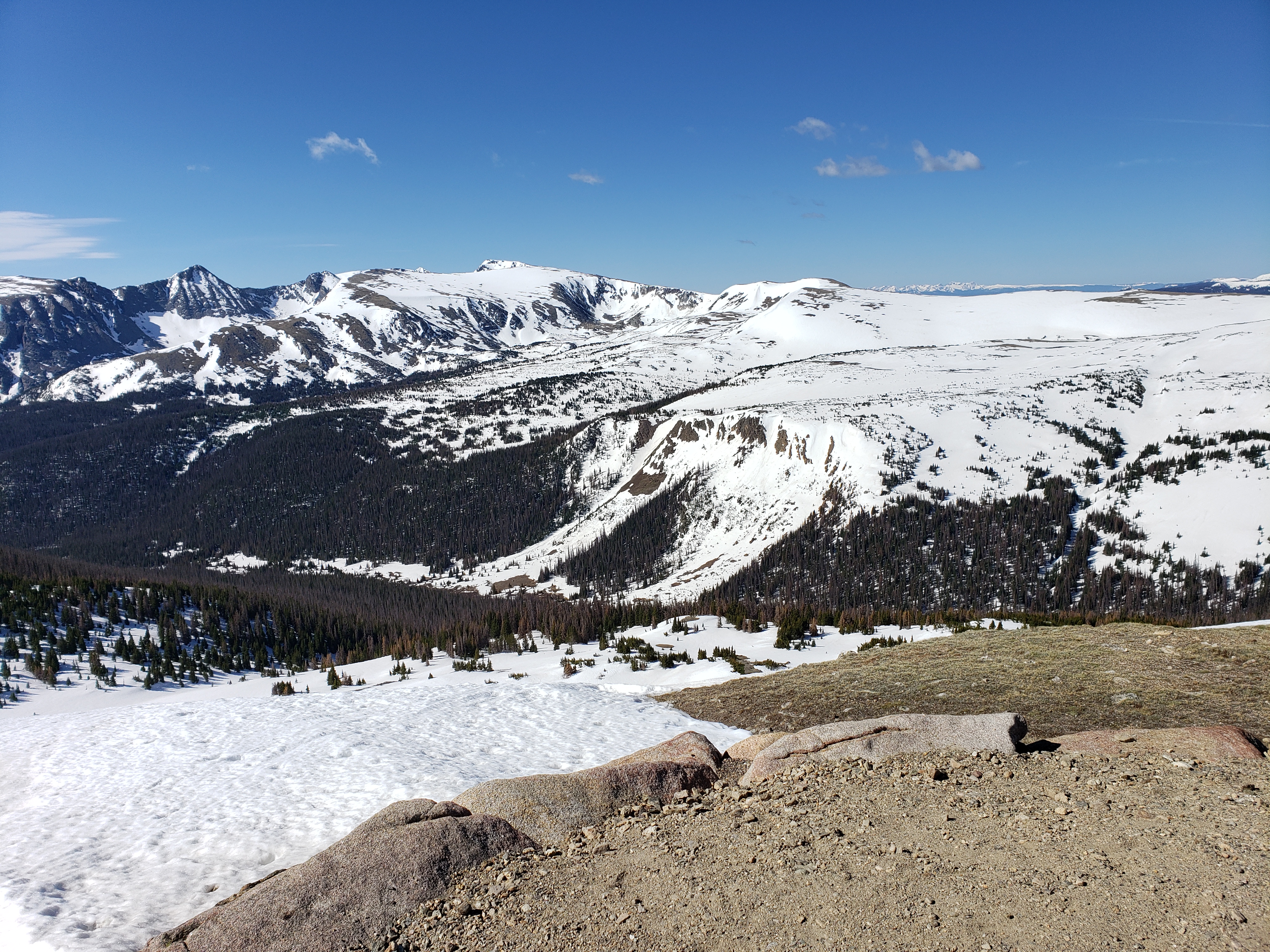
 And of course, the views were spectacular! Panorama looking southeast.
 Longs Peak in the distance
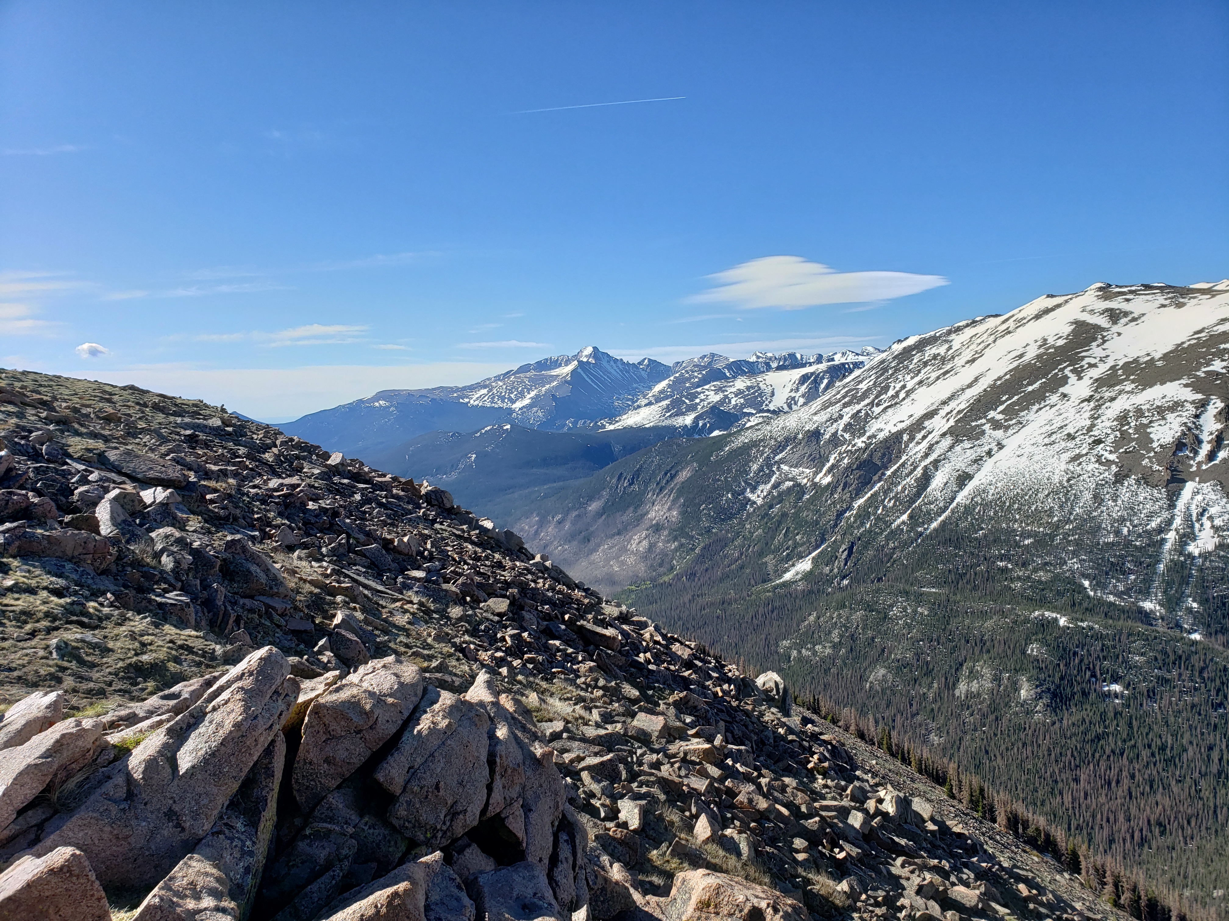 Forest Canyon below
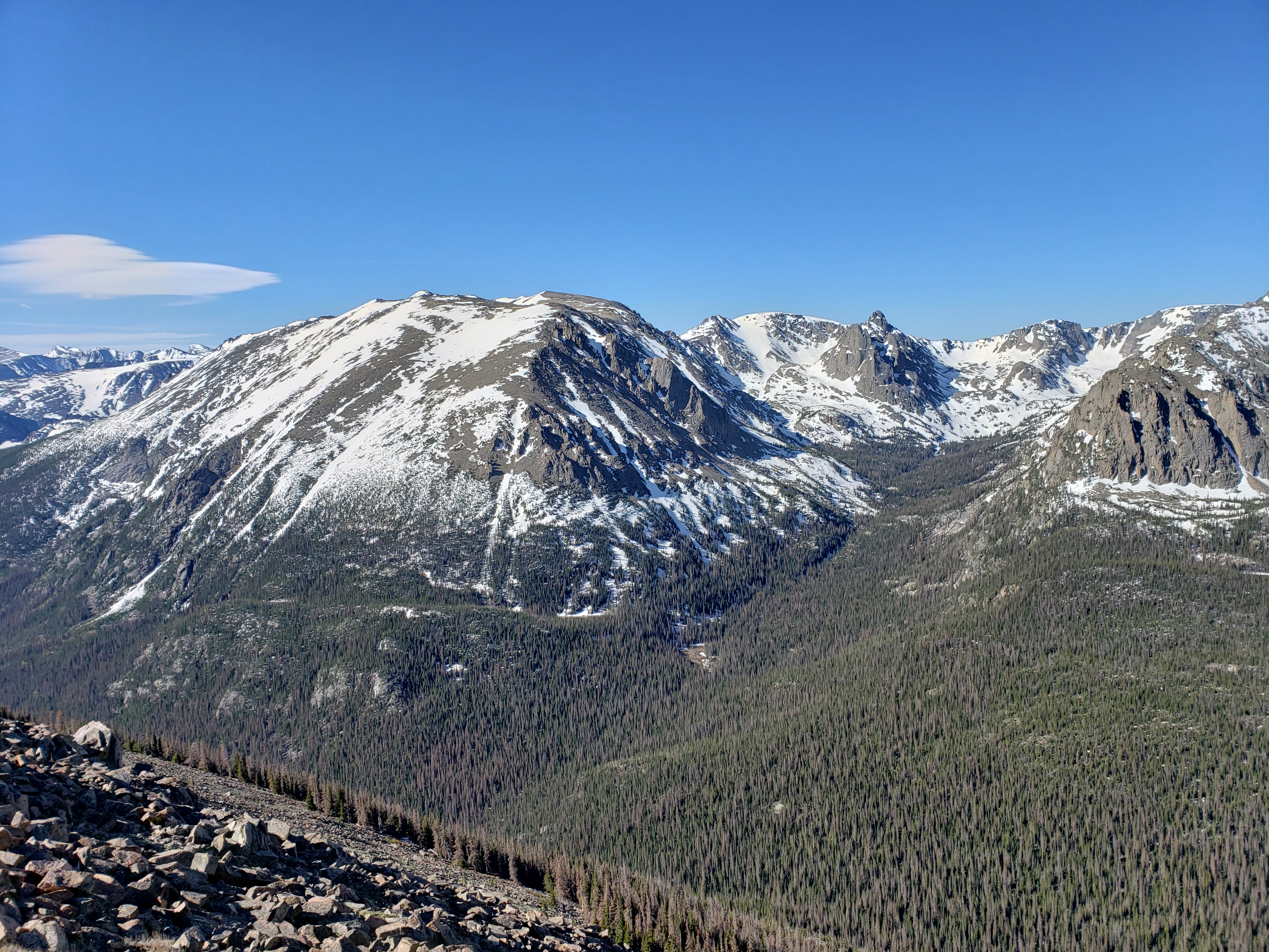 Panorama looking south
 Snowbanks on the road approaching the rock cut.
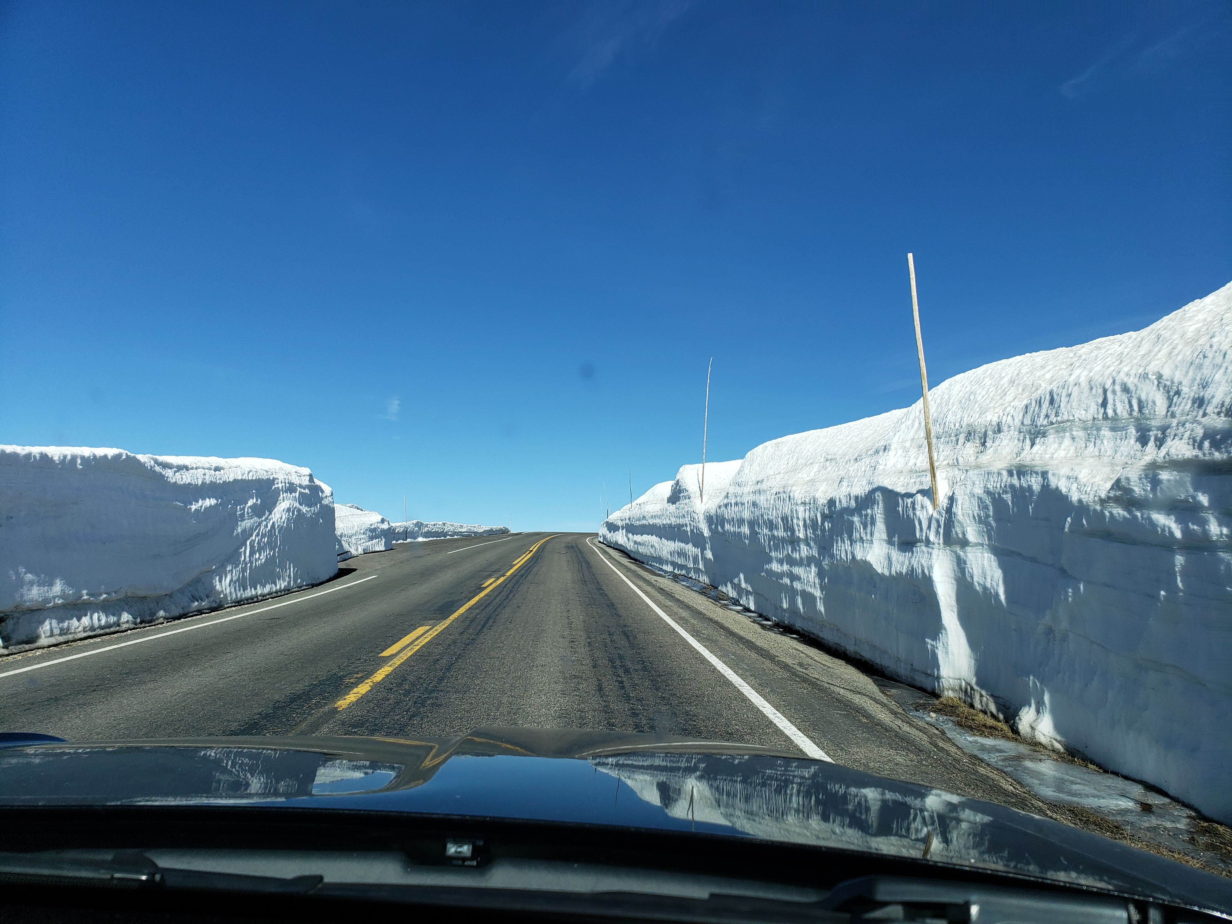
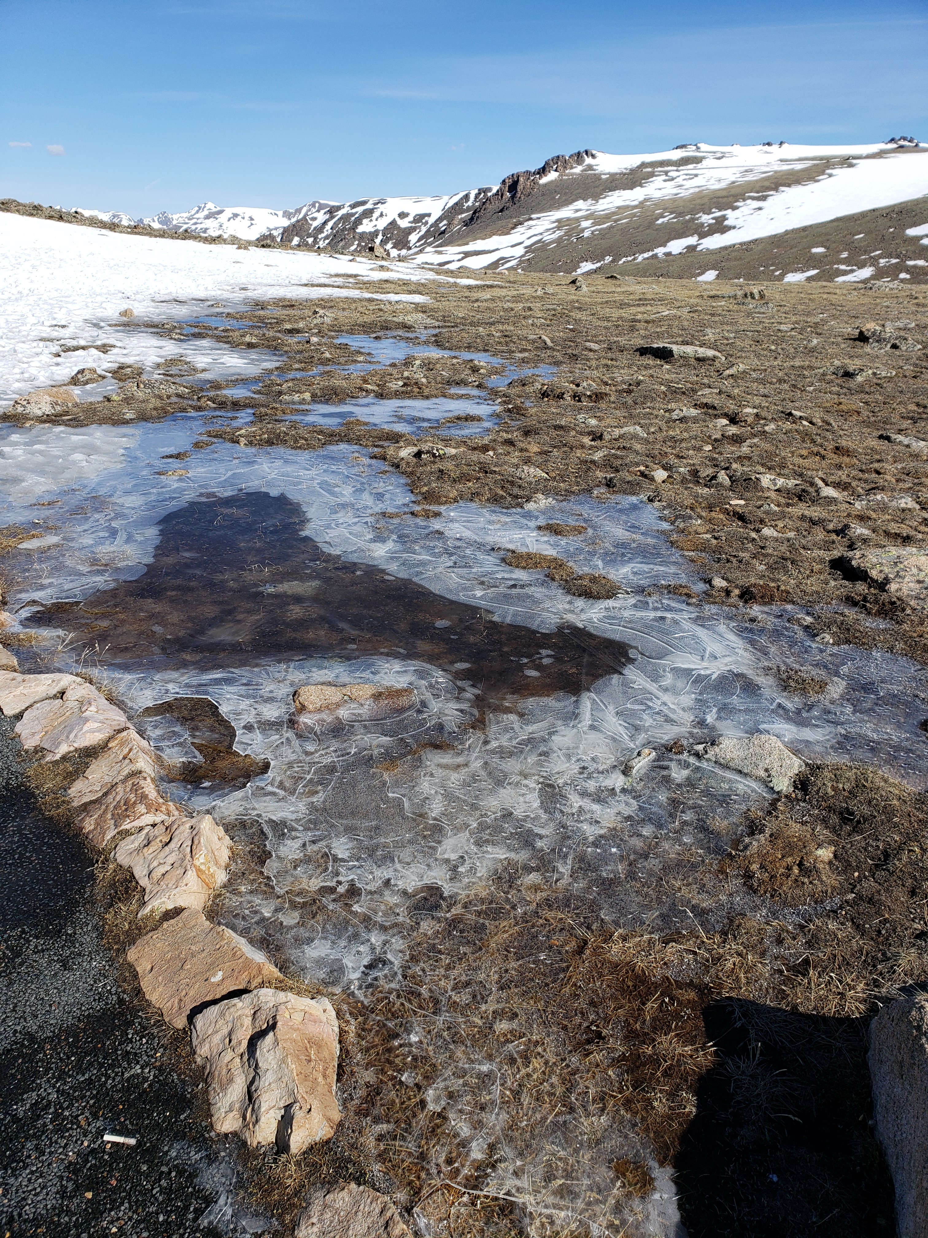
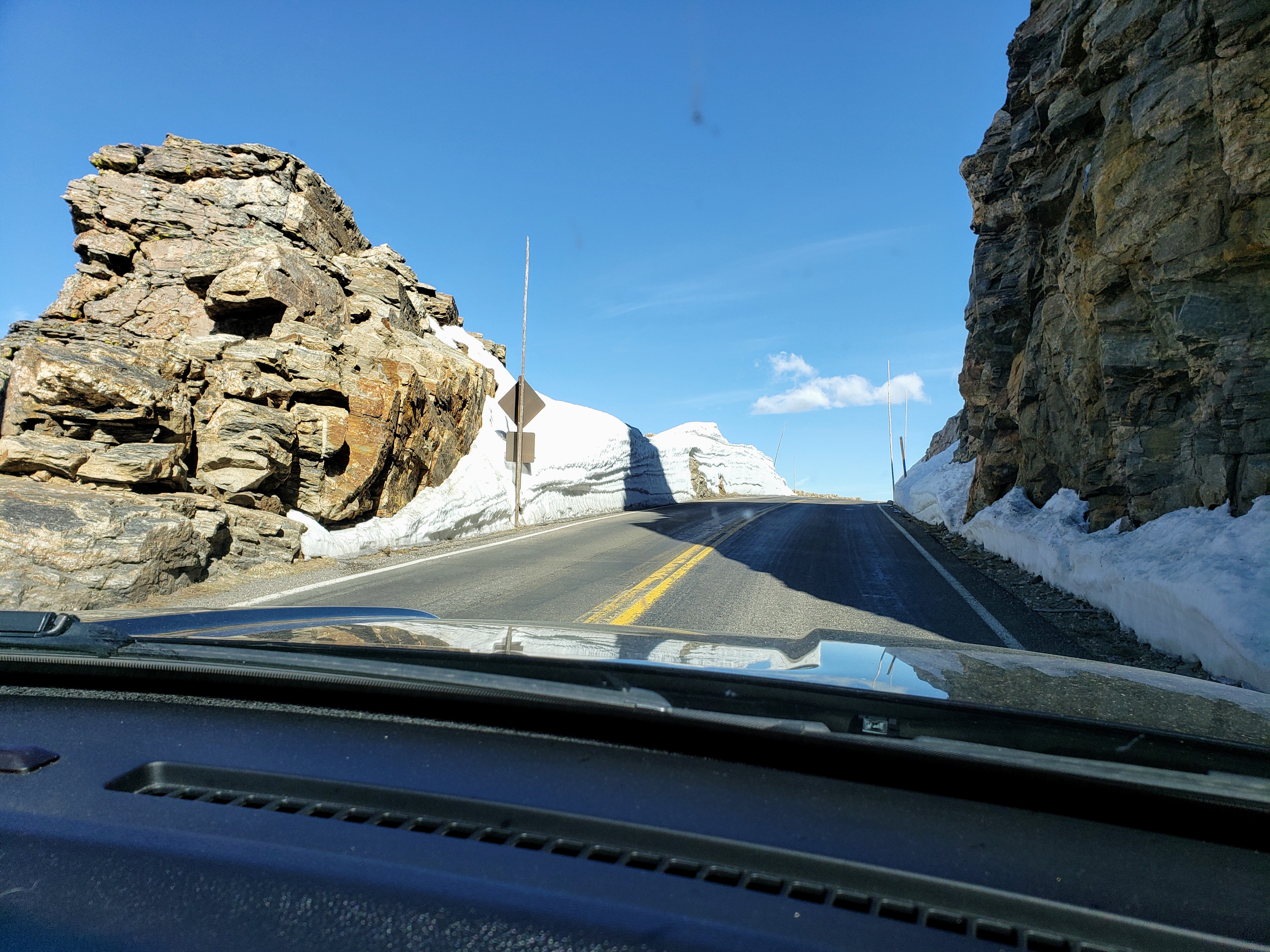 Views from the rock cut area. Zoom in on the first picture to see the frozen lake.
 Probably the highest snow we encountered near the Trail Ridge summit, I’d estimate 15 feet. 😮
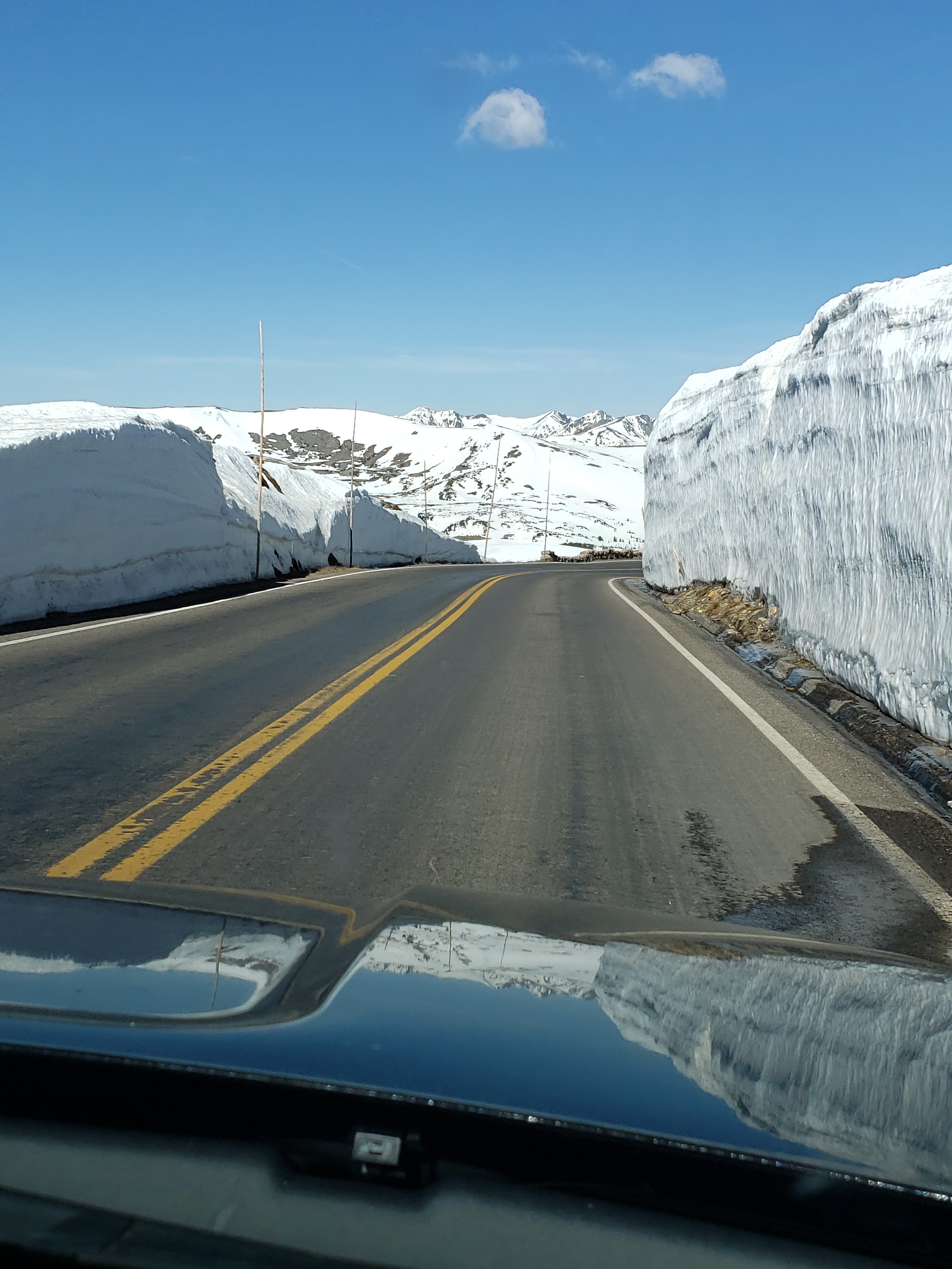 A quick stop at the Lava Cliffs overlook, mostly covered in snow, and the lake at the base was frozen!
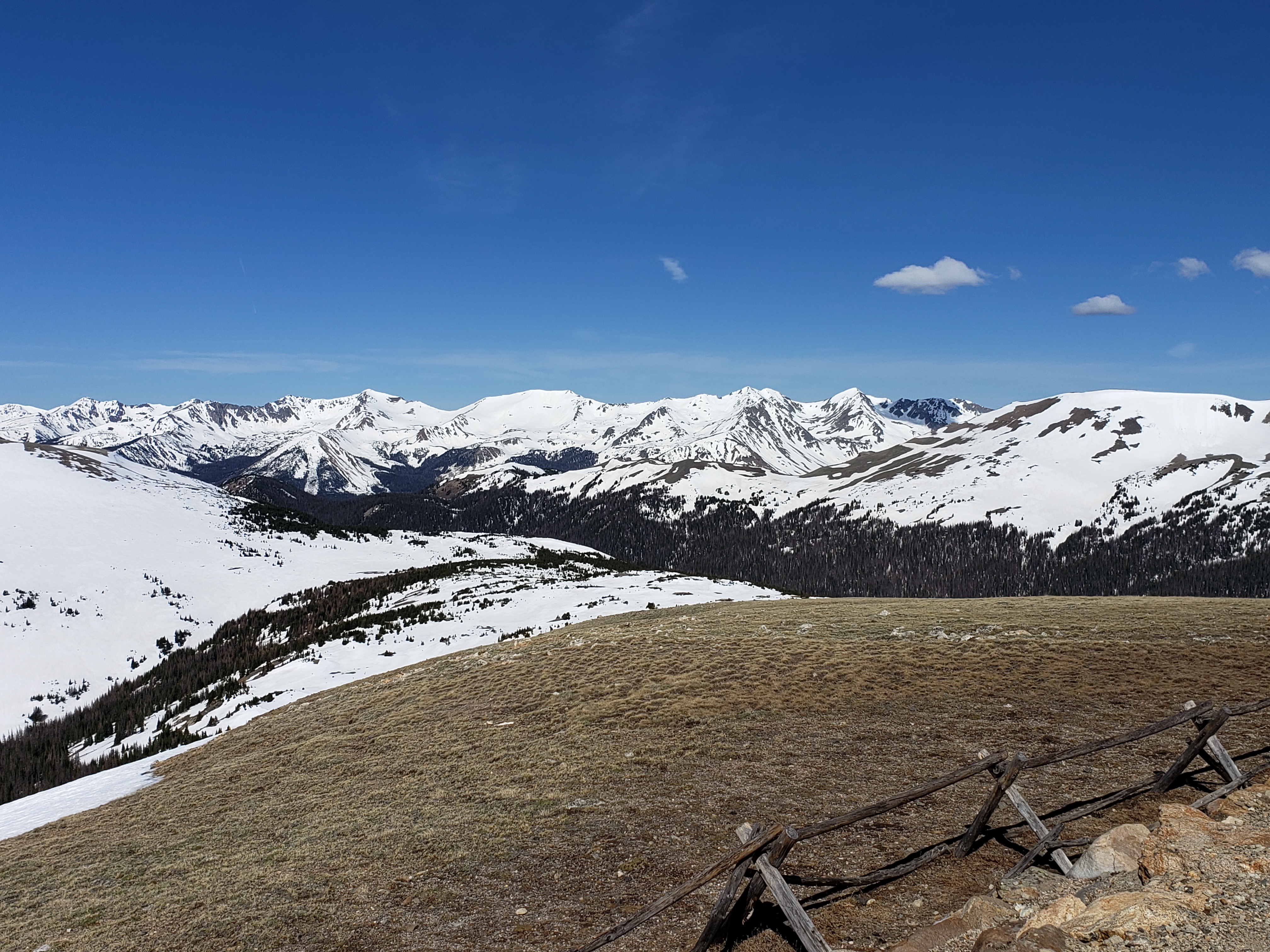
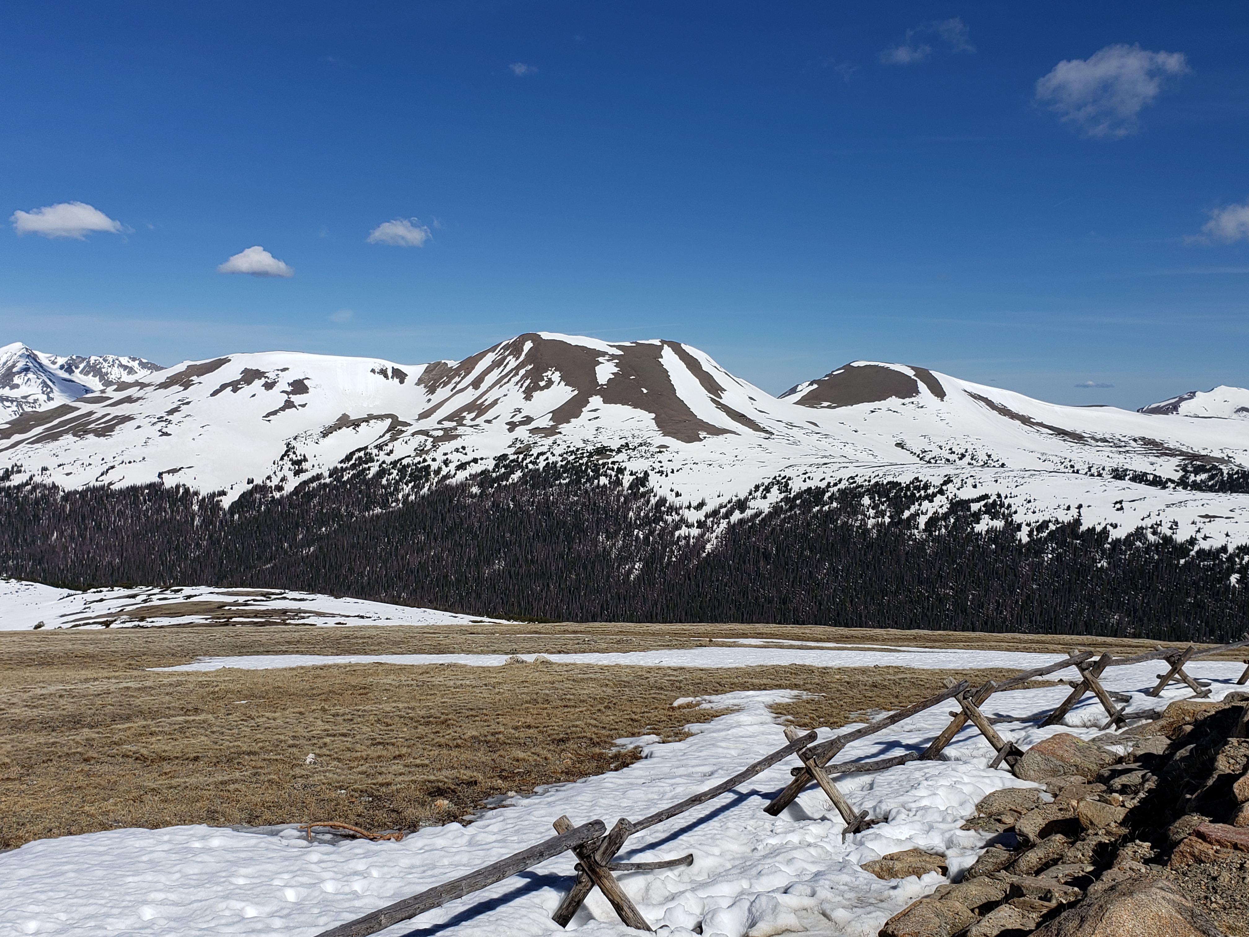
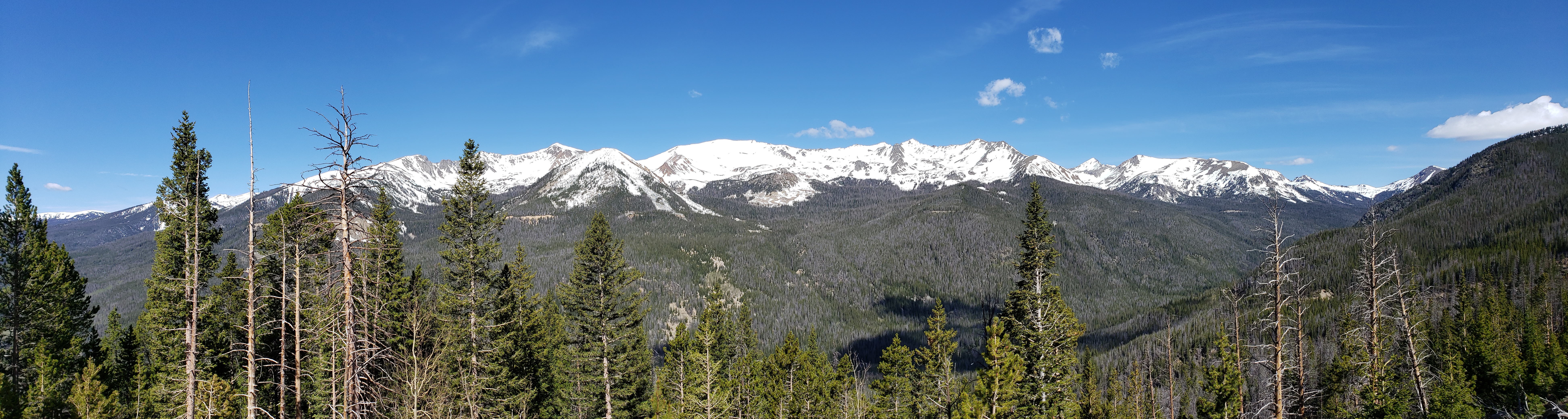
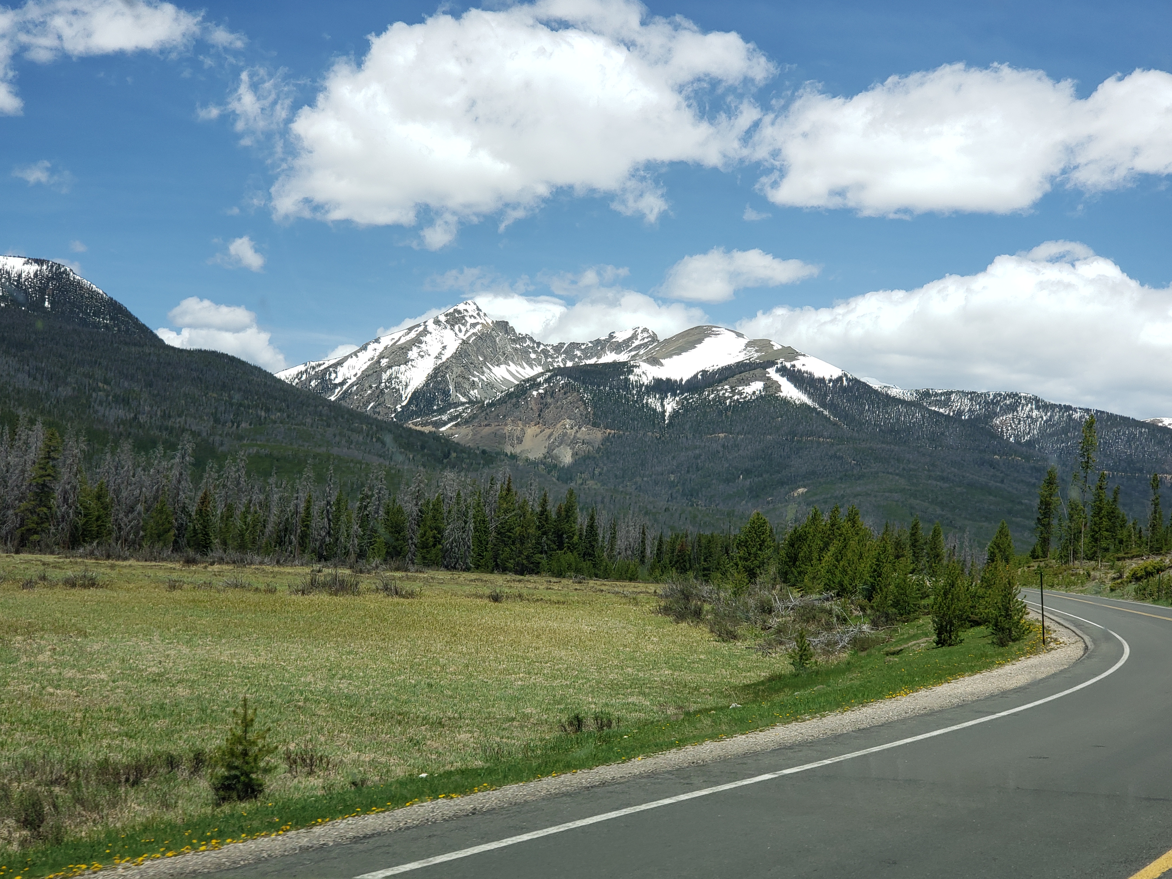
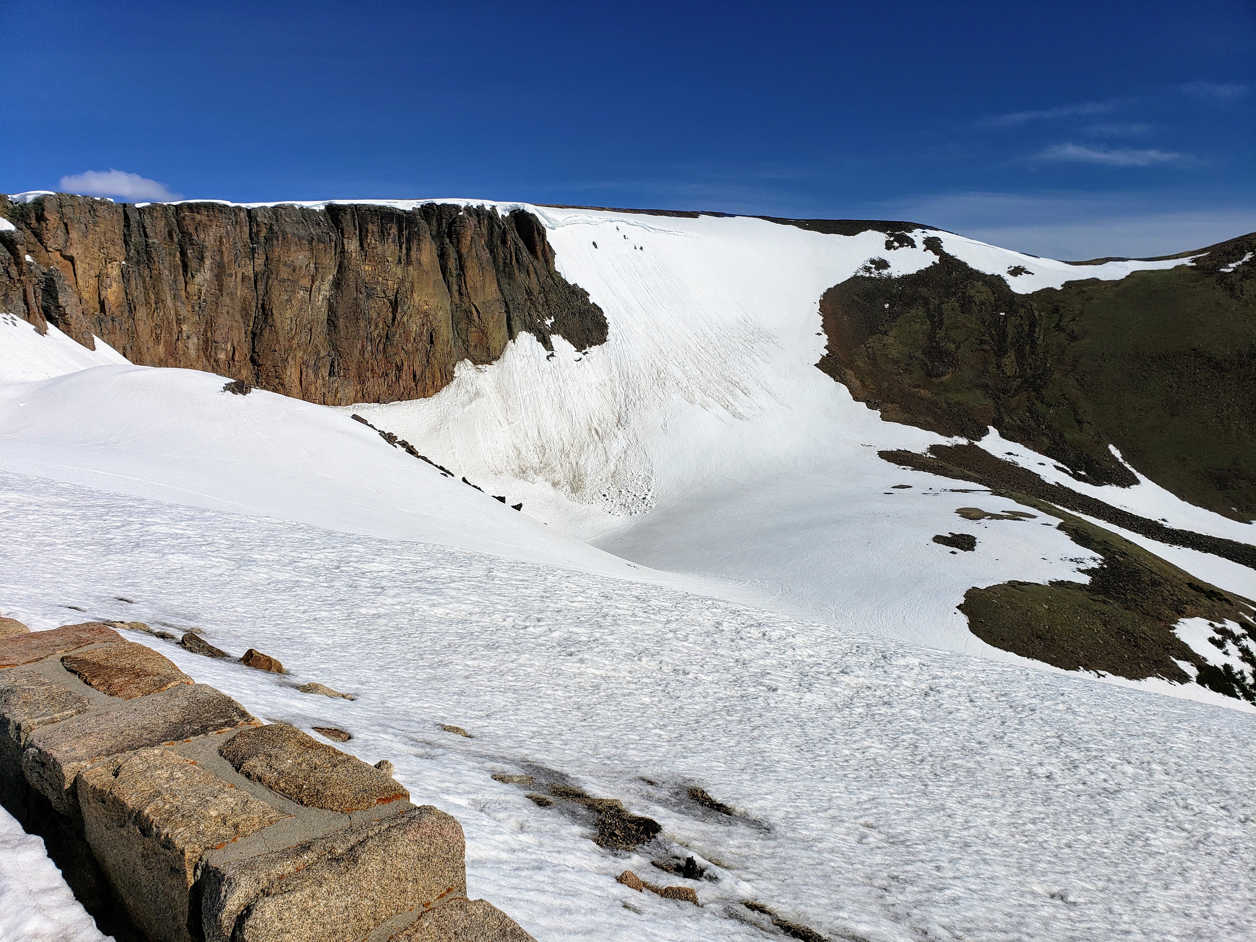 The Gore Range overlook wasn’t too snowy, but the views were very beautiful.
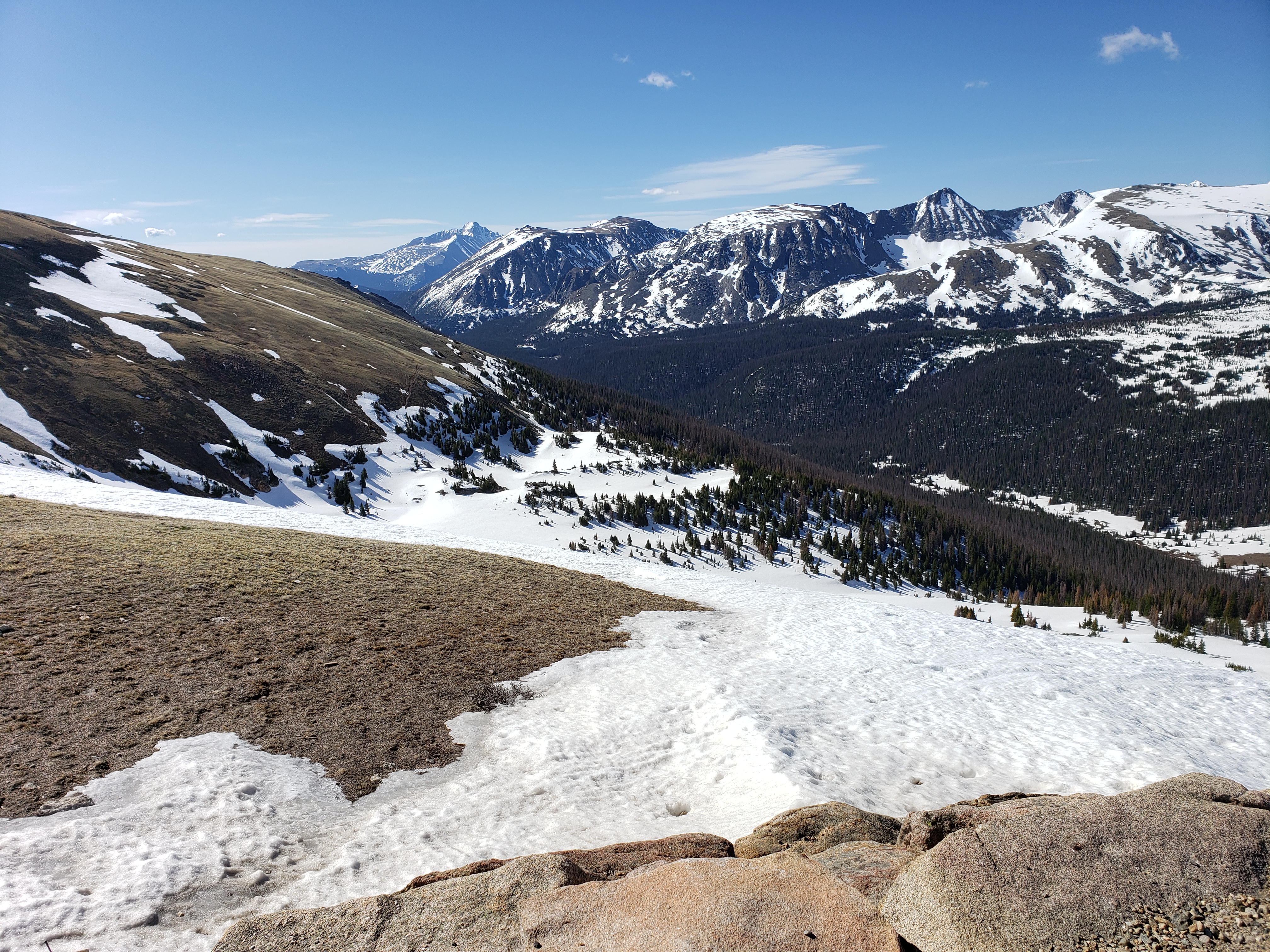
 We stopped briefly at the Alpine Visitors center but didn’t take any photos. This was the valley just past there…with snow down by the Cache de Poudre River.
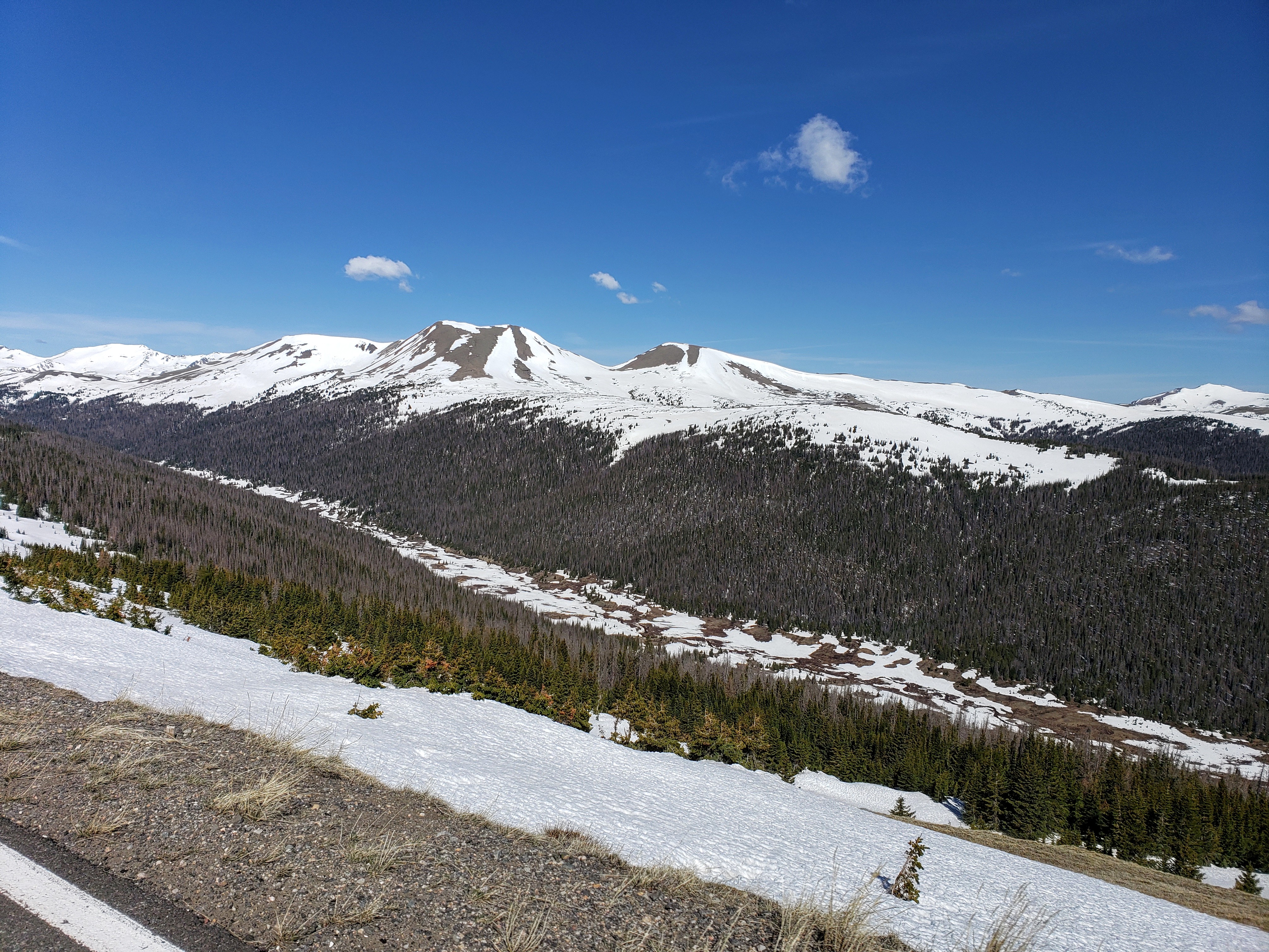 And looking back the other way…spectacular!
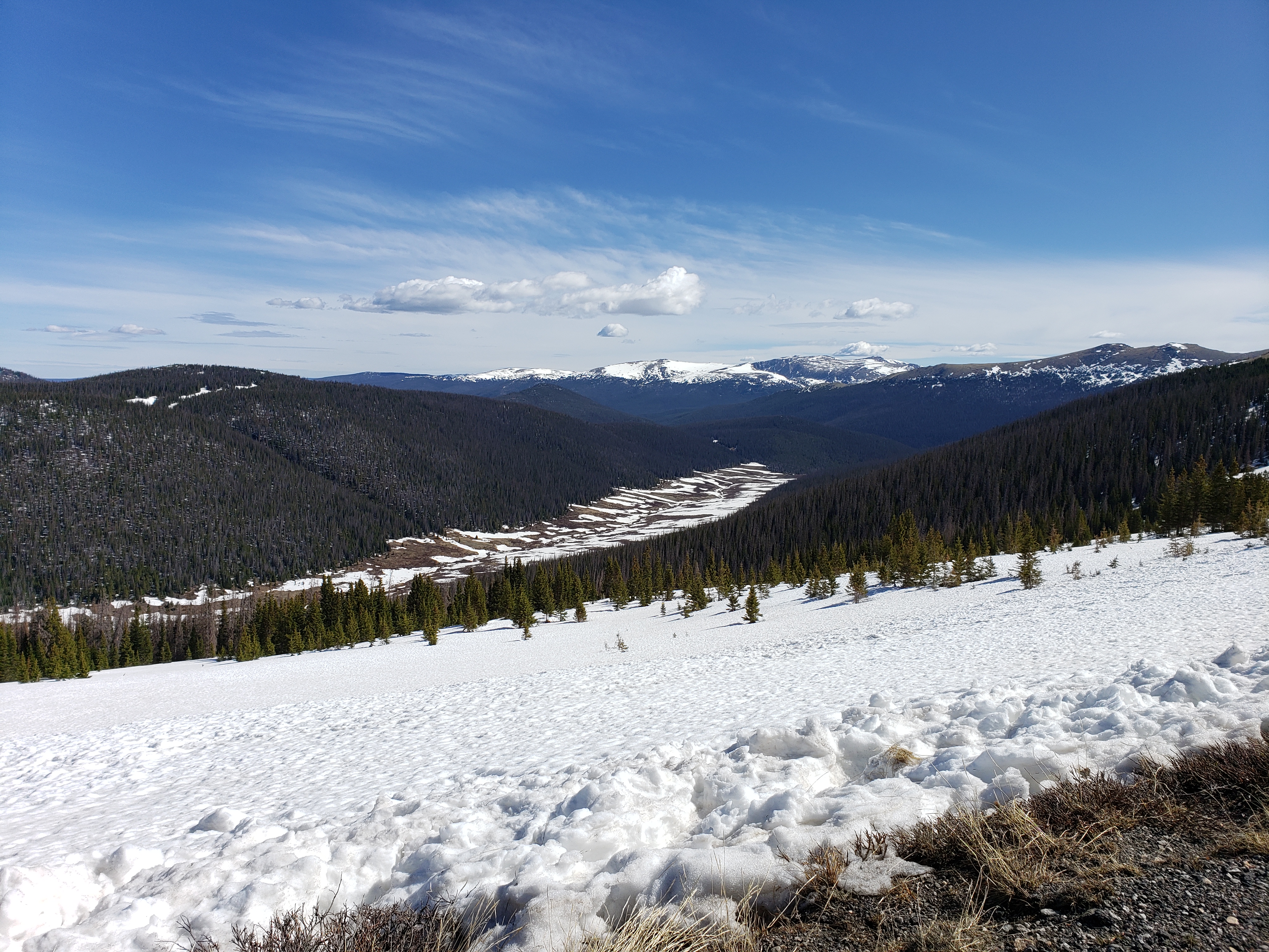 Driving toward Milner Pass.
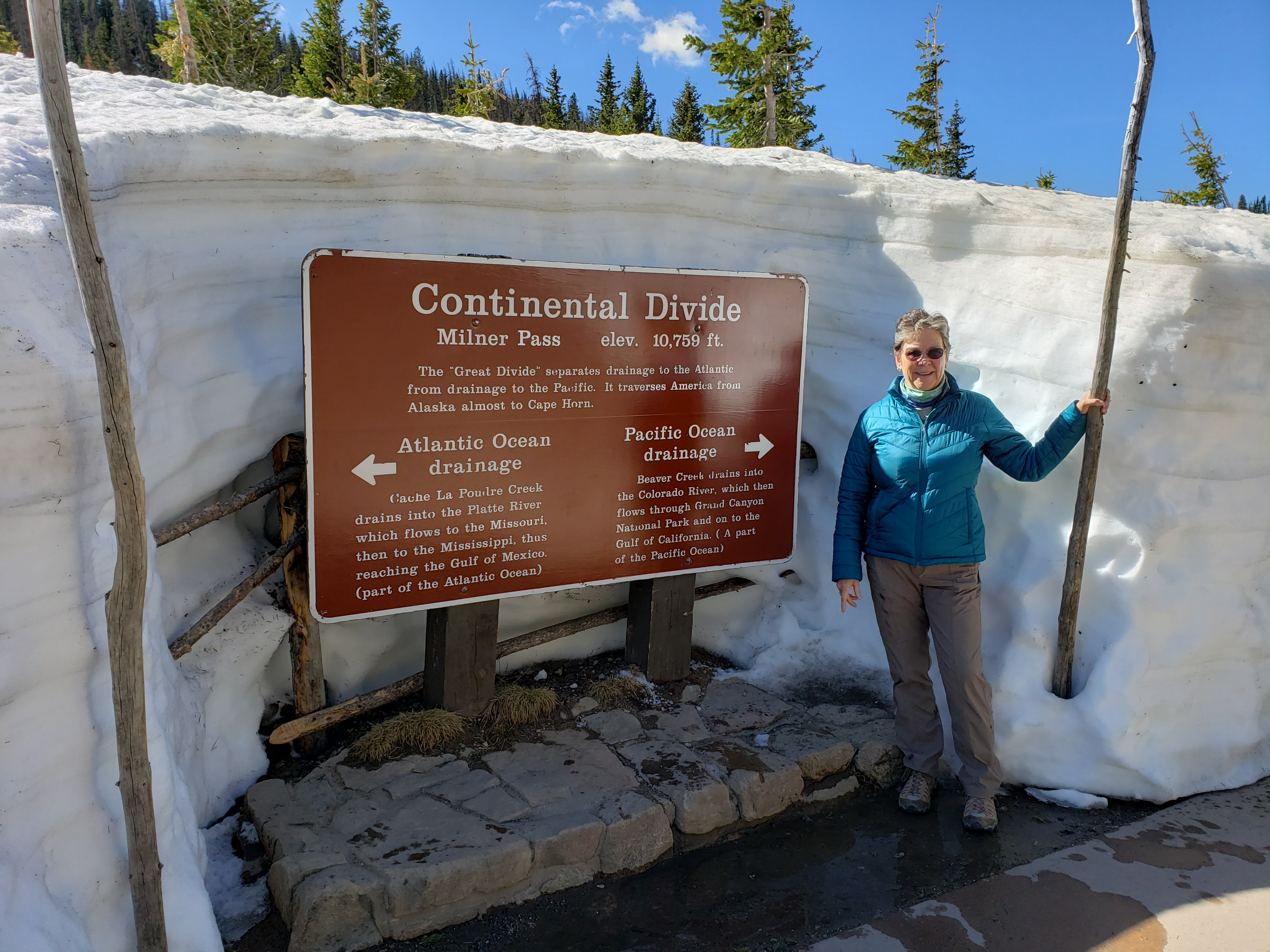
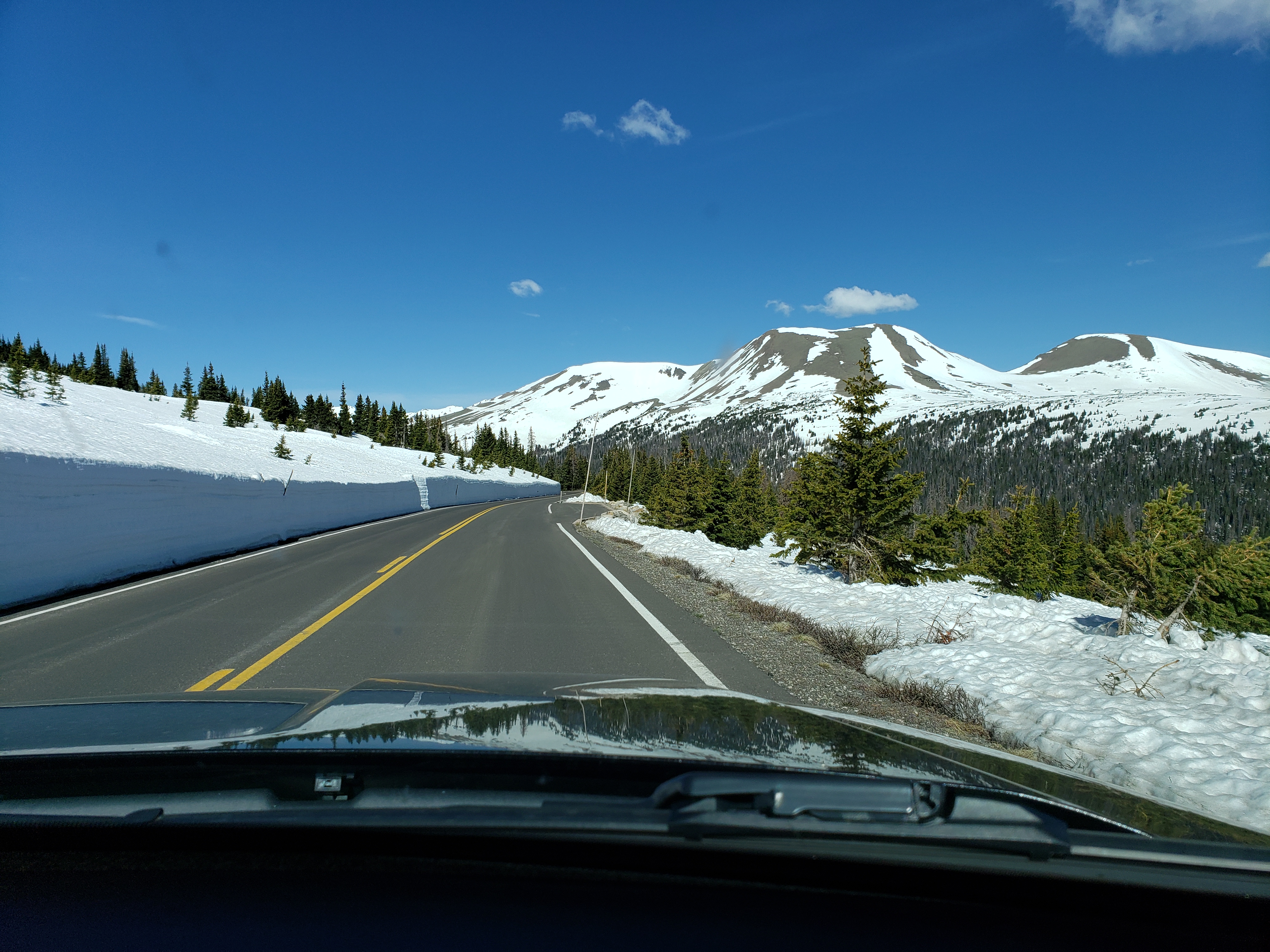 At Milner Pass, and the Continental Divide, we had to have tourist shots!
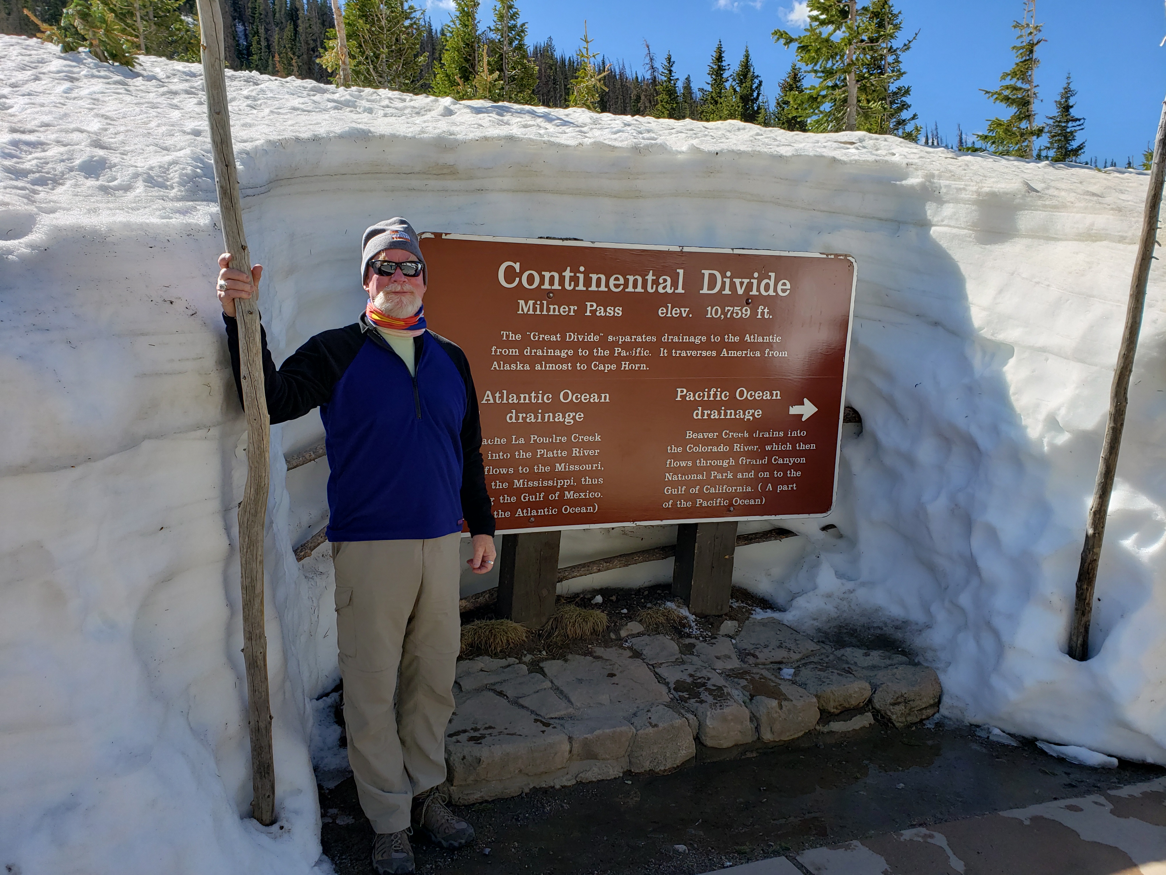
 And, of course, a view of frozen Poudre Lake.
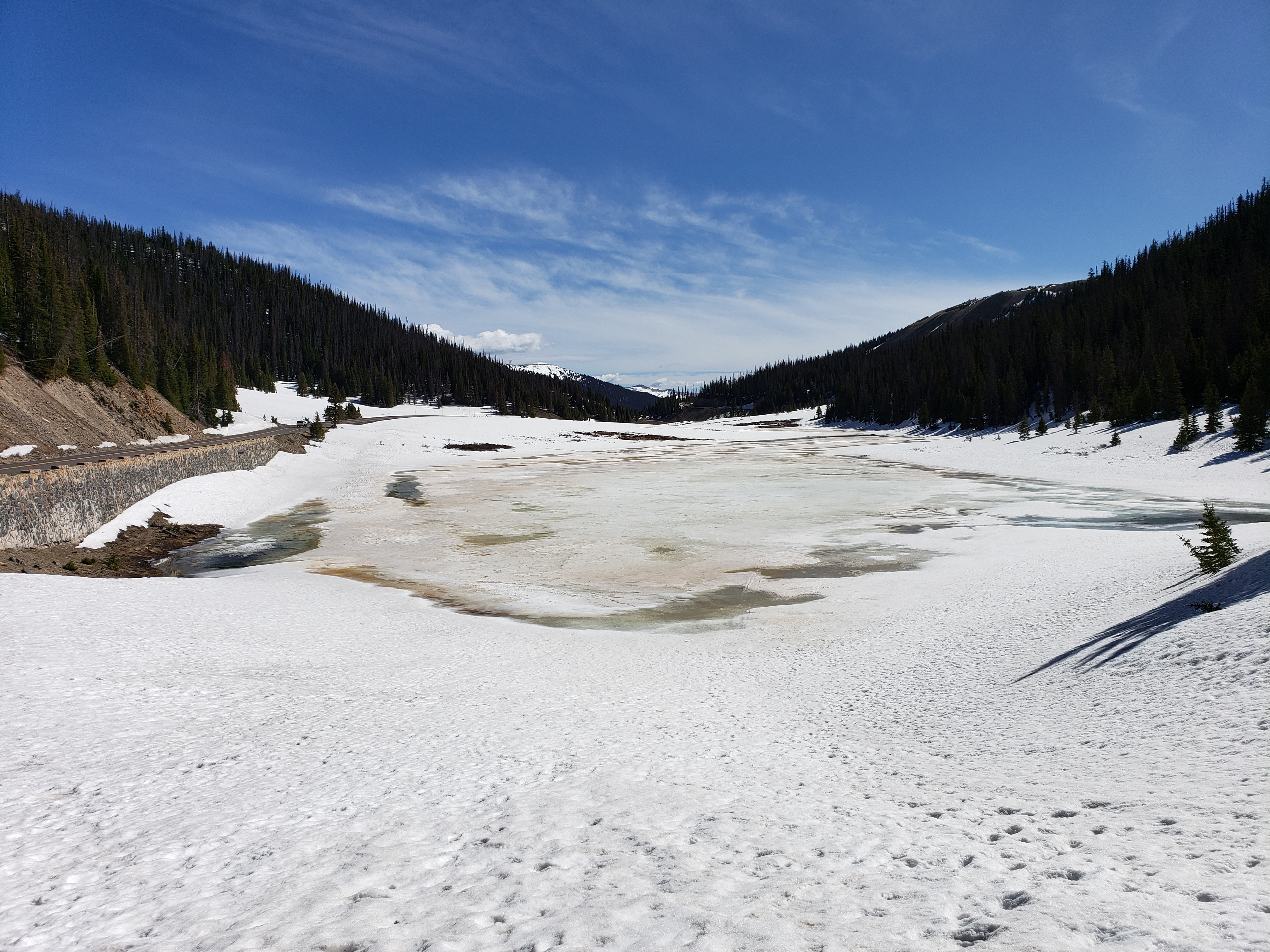 Our next stop looked like another day, in another world! No snow to be seen at Farview Curve, looking south and down to the Kawuneeche Valley.
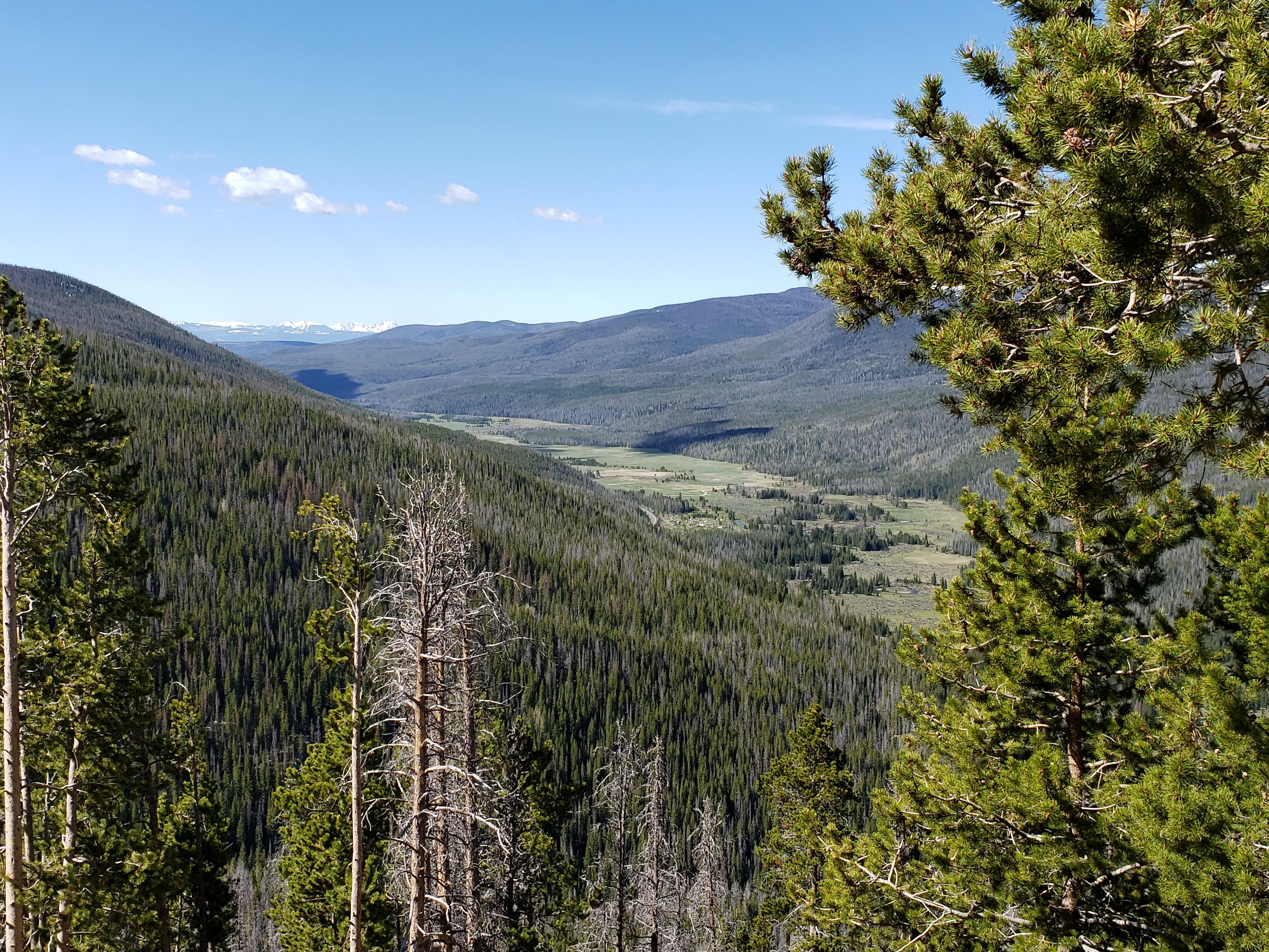 Except when looking west toward the Never Summer Mountains, of course!
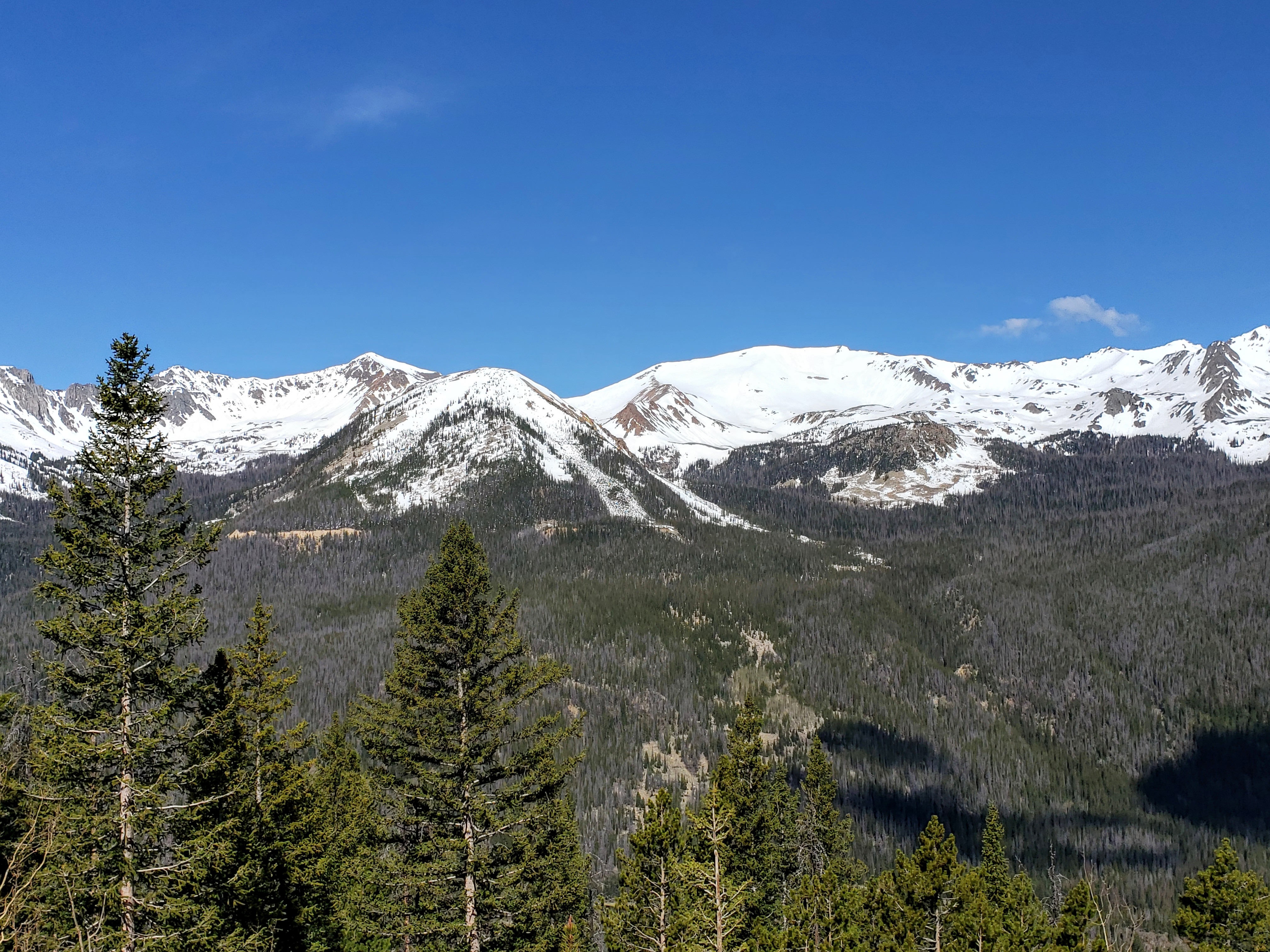
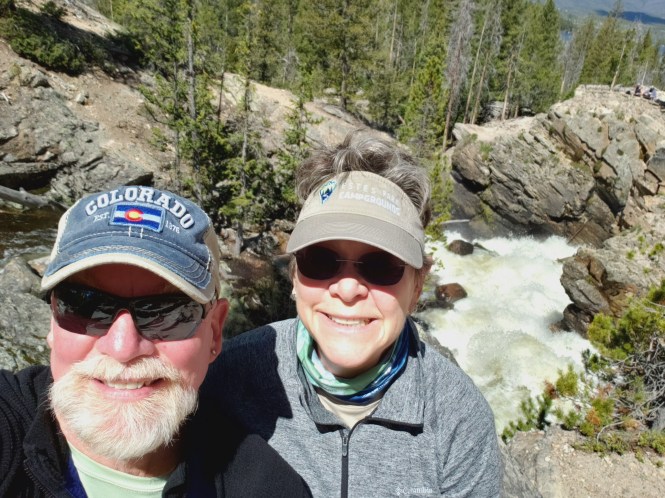
 We next ventured just outside the southwest border of Rocky into the town of Grand Lake to hike back into the park at Adams Falls.No snow here, but the 55 foot falls were booming with the recent snow melt! Looking up the falls.
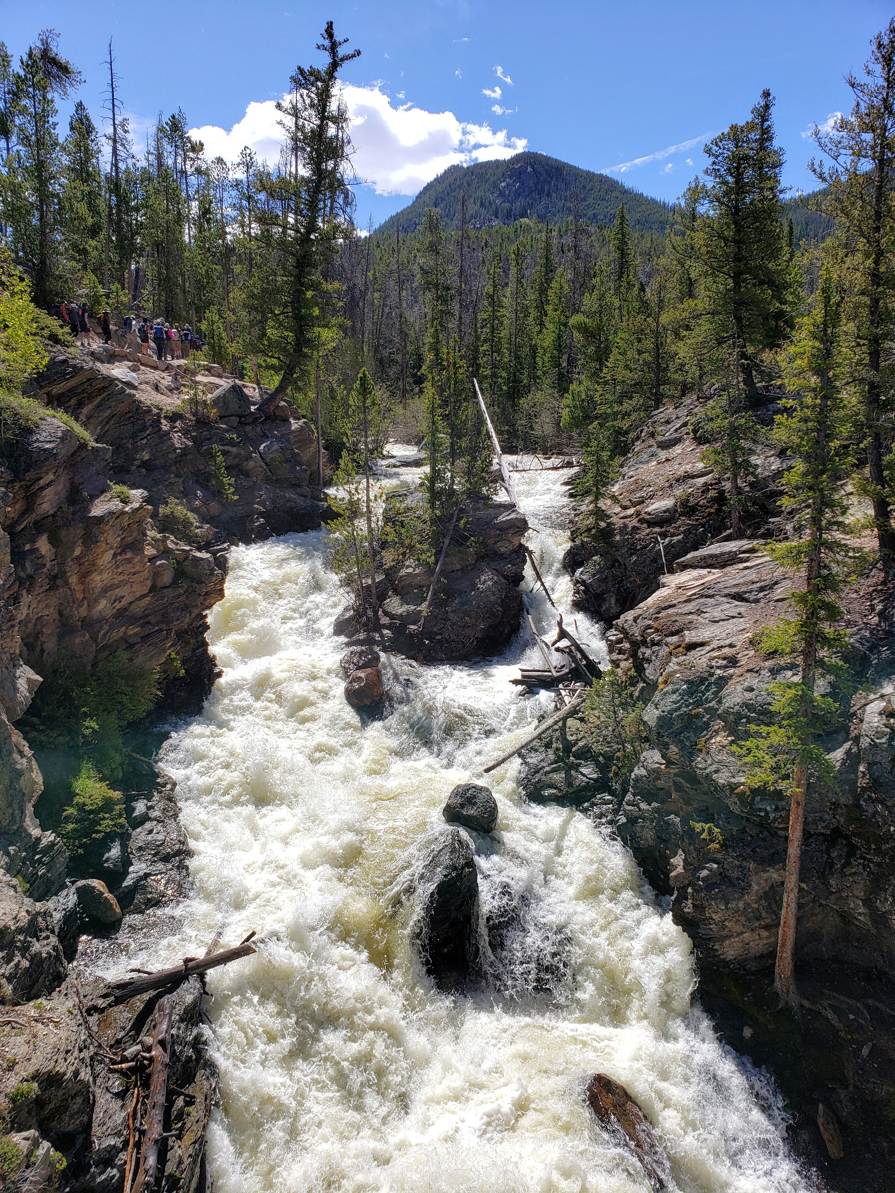
Looking down the falls behind us
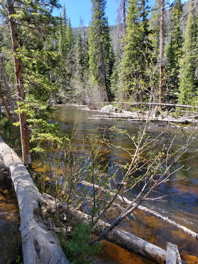
The calm stream above the falls
Grand Lake from East Inlet after the falls hike
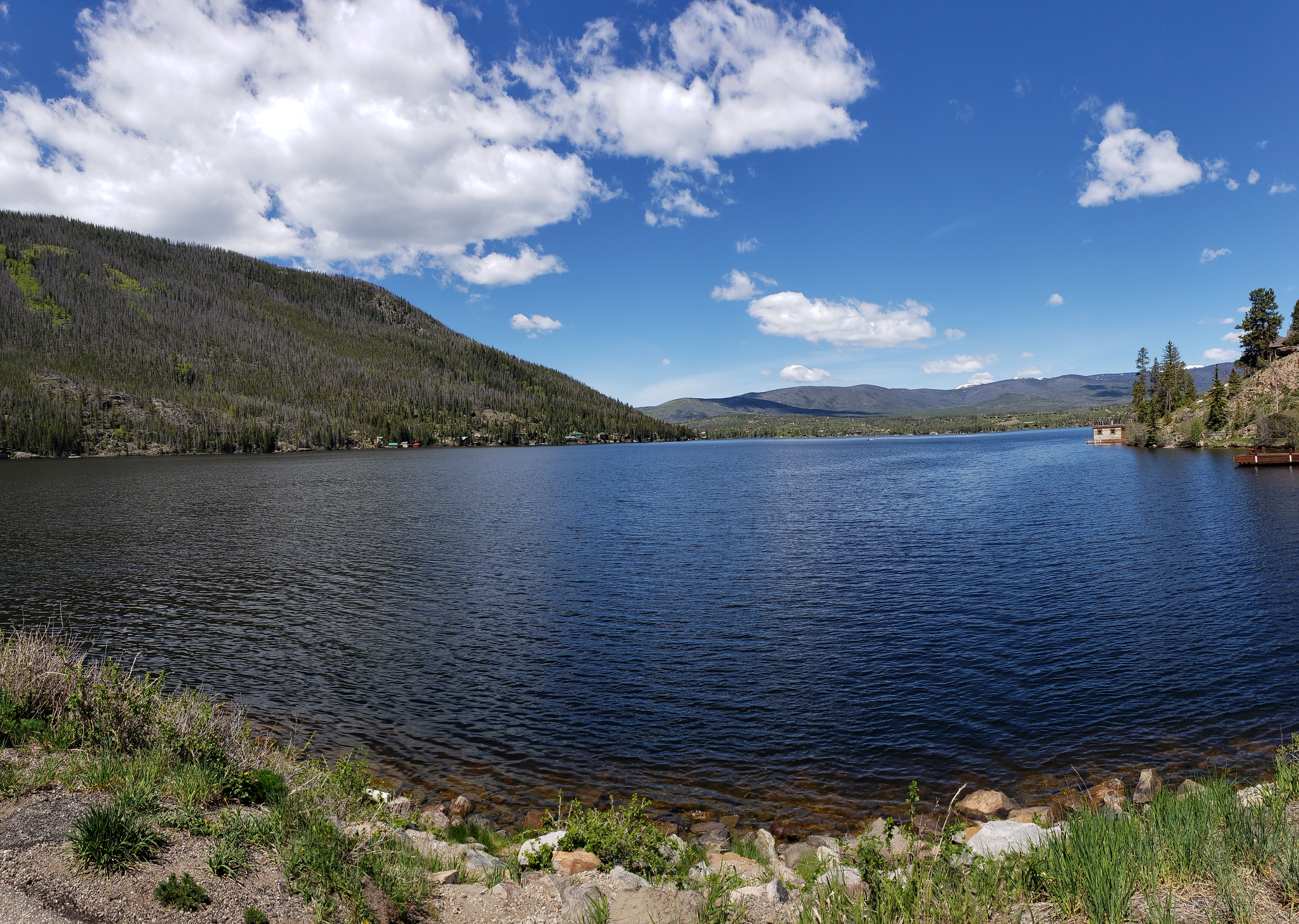
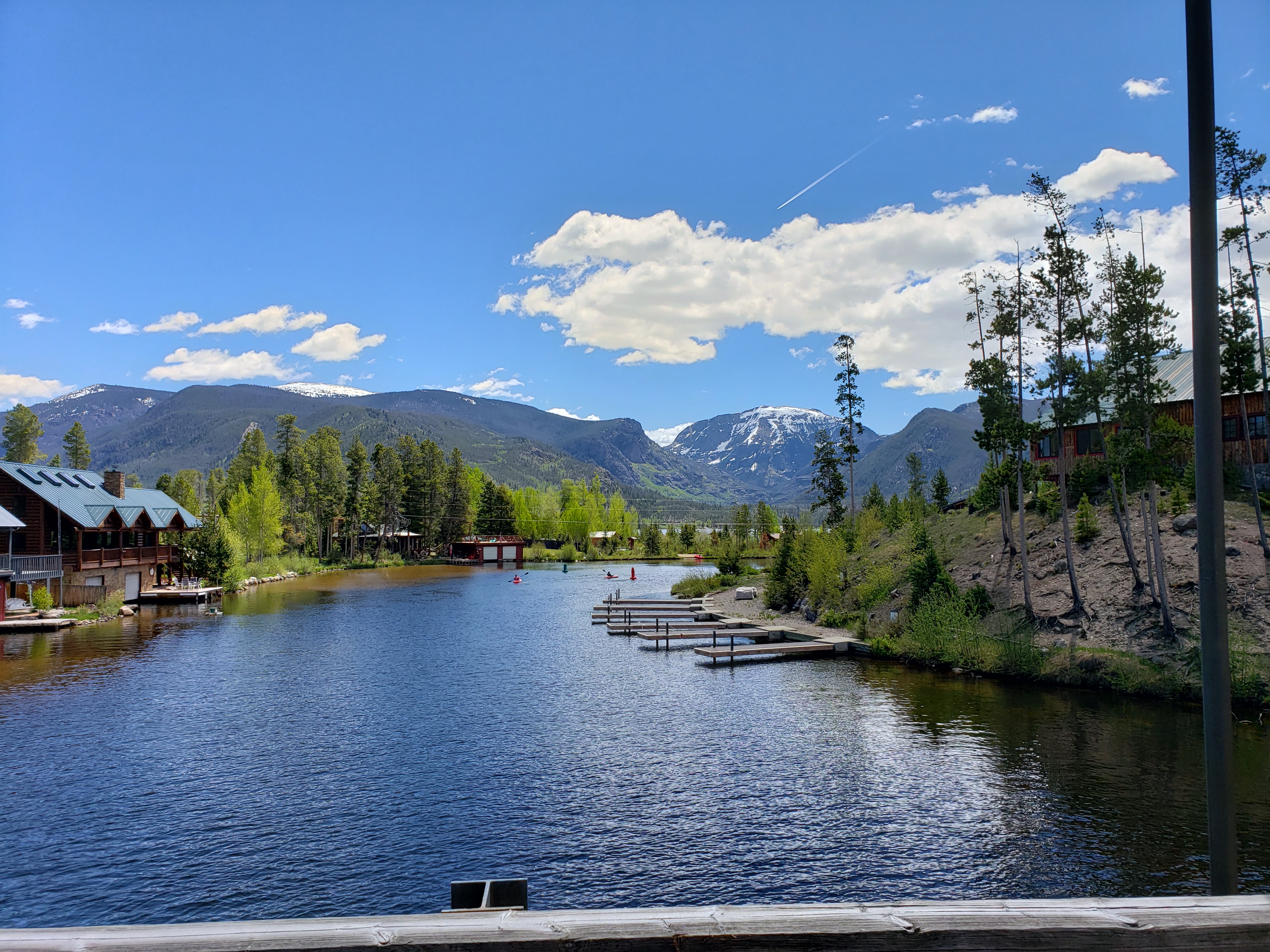
We drove around the town of Grand Lake to the narrow strip of land that separates Grand Lake from the larger Shadow Mountain Lake and captured this beautiful scene.
Last, but not least, one shot of the scenery in the Kawuneeche Valley, headed north on Trail Ridge Road, making time to get back to Estes for our afternoon shift at the campground. A morning well spent!
I hope you enjoyed this virtual tour of the snowy, and not so snowy, Rocky Mountain National Park!


Stunning, and amazing snow pack for June !!
LikeLiked by 1 person
Thank you, Cindy! We are hopeful the snow pack will help keep down fires this summer!
LikeLike
I did enjoy it, thanks! That’s a lot of snow for mid-June. Never Summer is a good name for those mountains.
LikeLiked by 1 person
Thank you for the kind comments! Love the Never Summer name, and hoping that doesn’t change over the next decades!
LikeLike
what wonderful pictures, thank you for sharing.. stunning!
LikeLiked by 1 person
Thank you, Dymoon, for following and the kind comments!
LikeLike
Wow! Isn’t it amazing how the drama just continues to change! Snow, no snow, gorgeous scenes. Can’t wait to get up that way.
LikeLiked by 1 person
You will love it, Lynn, photo opportunities abound! And thank you!
LikeLike
Rocky mountain hiiigh…
I love this post.
I love this “series” (i.e. your life).
And I love you!
(In a strictly platonic way, of course.)
LikeLiked by 1 person
Lots of (platonic) love backatcha, my friend! 😍😍😍
LikeLike
[…] If you’d like to see the next post about Rocky Mountain National Park, in 2019, you can go directly to this link. […]
LikeLike